Bairds Mill Bridge
Introduction
The photograph on this page of Bairds Mill Bridge by Mary and Angus Hogg as part of the Geograph project.
The Geograph project started in 2005 with the aim of publishing, organising and preserving representative images for every square kilometre of Great Britain, Ireland and the Isle of Man.

There are currently over 7.5m images from over 14,400 individuals and you can help contribute to the project by visiting https://www.geograph.org.uk
Bairds Mill Bridge
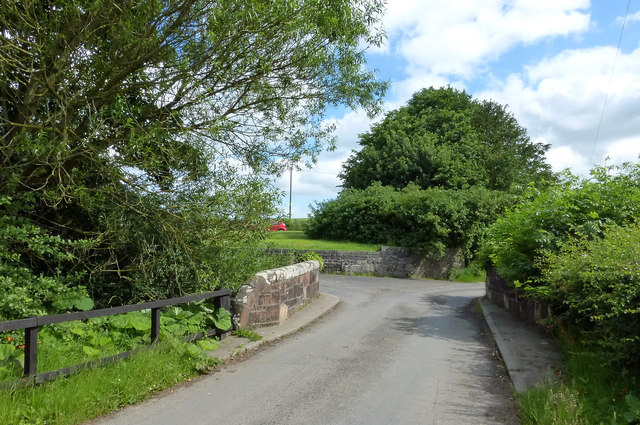
Image: © Mary and Angus Hogg Taken: 3 Jul 2015
Bairds Corn Mill stood on the other side of the bridge in the area now covered by shrubs and trees. Part of an old wall is still visible. The machinery was driven by water from a mill pond.
Images are licensed for reuse under creativecommons.org/licenses/by-sa/2.0
Image Location


Leaflet Map data © OpenStreetMap
Latitude
55.329697
Longitude
-4.654581