Ulidia House at the Sandy Row/Donegall Road cross roads
Introduction
The photograph on this page of Ulidia House at the Sandy Row/Donegall Road cross roads by Eric Jones as part of the Geograph project.
The Geograph project started in 2005 with the aim of publishing, organising and preserving representative images for every square kilometre of Great Britain, Ireland and the Isle of Man.

There are currently over 7.5m images from over 14,400 individuals and you can help contribute to the project by visiting https://www.geograph.org.uk
Ulidia House at the Sandy Row/Donegall Road cross roads
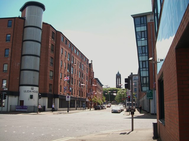
Image: © Eric Jones Taken: 30 Jun 2015
This is a six storey block of apartments built for local residents. The spire of the Crescent Church, which marks the southern end of Sandy Row, can be seen in the background. http://www.g-m-design.com/gallery.php?galleryid=27&galleryname=Donegall%20Road,%20Belfast&cat=project_residential&pname=Residential
Images are licensed for reuse under creativecommons.org/licenses/by-sa/2.0
Image Location
Latitude
54.58916
Longitude
-5.936212