Site of No 4 swingbridge [Balne Croft]
Introduction
The photograph on this page of Site of No 4 swingbridge [Balne Croft] by Christine Johnstone as part of the Geograph project.
The Geograph project started in 2005 with the aim of publishing, organising and preserving representative images for every square kilometre of Great Britain, Ireland and the Isle of Man.

There are currently over 7.5m images from over 14,400 individuals and you can help contribute to the project by visiting https://www.geograph.org.uk
Site of No 4 swingbridge [Balne Croft]
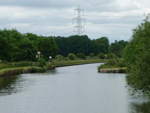
Image: © Christine Johnstone Taken: 19 Jun 2015
The Aire & Calder Navigations narrows here, to reduce the size of the swingbridge deck.
Images are licensed for reuse under creativecommons.org/licenses/by-sa/2.0
Image Location
Latitude
53.660897
Longitude
-1.046301