Bridge Street, Aberystwyth
Introduction
The photograph on this page of Bridge Street, Aberystwyth by Stephen McKay as part of the Geograph project.
The Geograph project started in 2005 with the aim of publishing, organising and preserving representative images for every square kilometre of Great Britain, Ireland and the Isle of Man.

There are currently over 7.5m images from over 14,400 individuals and you can help contribute to the project by visiting https://www.geograph.org.uk
Bridge Street, Aberystwyth
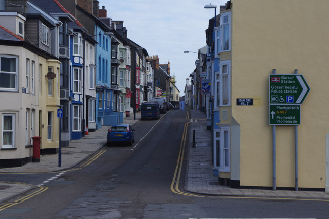
Image: © Stephen McKay Taken: 27 Jun 2015
Traffic heading north on the A487 (Haverfordwest - Bangor) road is directed along Bridge Street through the town centre, which hardly seems ideal. This is the view from just north of Pont Aberystwyth across the Afon Rheidol.
Images are licensed for reuse under creativecommons.org/licenses/by-sa/2.0
Image Location
Latitude
52.412184
Longitude
-4.085335