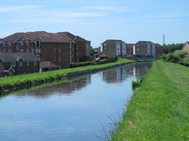
The Mylne Aqueduct on the New River in Turnford
Introduction
The photograph on this page of The Mylne Aqueduct on the New River in Turnford by Mike Quinn as part of the Geograph project.
The Geograph project started in 2005 with the aim of publishing, organising and preserving representative images for every square kilometre of Great Britain, Ireland and the Isle of Man.
There are currently over 7.5m images from over 14,400 individuals and you can help contribute to the project by visiting https://www.geograph.org.uk

Image: © Mike Quinn Taken: 27 May 2015
See Image Little information is available about the construction of the Mylne Aqueduct in Turnford; it dates from around 1855, part of the 1850s works to straighten a number of loops in the New River that shortened its route (in total) by almost 20km. The four-arch brick aqueduct was designed by New River Surveyor William Chadwell Mylne (1871-1863), son of Robert Mylne (1733-1811), who had also been Surveyor - see Image The aqueduct conveys the waters of the New River across Image For further info, see http://www.engineering-timelines.com/scripts/engineeringItem.asp?id=1336 .

