Field at the edge of Bulwark, Chepstow
Introduction
The photograph on this page of Field at the edge of Bulwark, Chepstow by Jaggery as part of the Geograph project.
The Geograph project started in 2005 with the aim of publishing, organising and preserving representative images for every square kilometre of Great Britain, Ireland and the Isle of Man.

There are currently over 7.5m images from over 14,400 individuals and you can help contribute to the project by visiting https://www.geograph.org.uk
Field at the edge of Bulwark, Chepstow
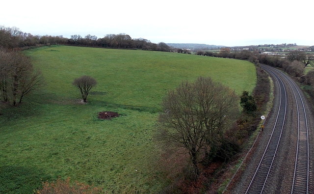
Image: © Jaggery Taken: 15 Dec 2013
Viewed from the footpath on the north side of Wye Bridge which carries the M48 motorway. A sign shows a 50mph speed limit on the railway on the southern approach to Chepstow railway station.
Images are licensed for reuse under creativecommons.org/licenses/by-sa/2.0
Image Location
Latitude
51.621794
Longitude
-2.6634