OS Benchmark, Victoria Road
Introduction
The photograph on this page of OS Benchmark, Victoria Road by Keith Edkins as part of the Geograph project.
The Geograph project started in 2005 with the aim of publishing, organising and preserving representative images for every square kilometre of Great Britain, Ireland and the Isle of Man.

There are currently over 7.5m images from over 14,400 individuals and you can help contribute to the project by visiting https://www.geograph.org.uk
OS Benchmark, Victoria Road
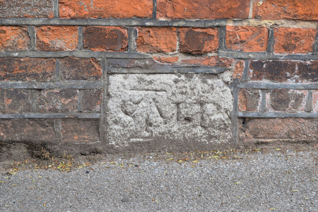
Image: © Keith Edkins Taken: 23 Jun 2015
Listed as 18.97m above OSDN. The original purpose of the stone is obscure; it looks like a parish boundary marker but this location appears to be solidly inside St John the Baptist parish. Perhaps it has been relocated from elsewhere.
Images are licensed for reuse under creativecommons.org/licenses/by-sa/2.0
Image Location
Latitude
51.385385
Longitude
1.385945