Crown Hotel
Introduction
The photograph on this page of Crown Hotel by Michael Dibb as part of the Geograph project.
The Geograph project started in 2005 with the aim of publishing, organising and preserving representative images for every square kilometre of Great Britain, Ireland and the Isle of Man.

There are currently over 7.5m images from over 14,400 individuals and you can help contribute to the project by visiting https://www.geograph.org.uk
Crown Hotel
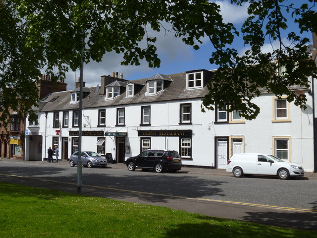
Image: © Michael Dibb Taken: 7 Jun 2015
The hotel is in King Street, Castle Douglas. King Street was once part of the A75, the main road to Stranraer, but the town is now by-passed.
Images are licensed for reuse under creativecommons.org/licenses/by-sa/2.0
Image Location


Leaflet Map data © OpenStreetMap
Latitude
54.942573
Longitude
-3.927608