Quay Street, Cardigan
Introduction
The photograph on this page of Quay Street, Cardigan by Jaggery as part of the Geograph project.
The Geograph project started in 2005 with the aim of publishing, organising and preserving representative images for every square kilometre of Great Britain, Ireland and the Isle of Man.

There are currently over 7.5m images from over 14,400 individuals and you can help contribute to the project by visiting https://www.geograph.org.uk
Quay Street, Cardigan
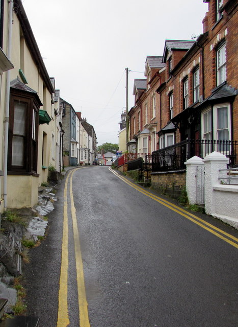
Image: © Jaggery Taken: 26 Jun 2015
Quay Street climbs away from the north bank of the Afon Teifi, towards High Street and Green Street. Double yellow lines on both sides of the road mean no parking at any time.
Images are licensed for reuse under creativecommons.org/licenses/by-sa/2.0
Image Location
Latitude
52.081809
Longitude
-4.661899