Footpath Waymarks, near Olney
Introduction
The photograph on this page of Footpath Waymarks, near Olney by Stephen McKay as part of the Geograph project.
The Geograph project started in 2005 with the aim of publishing, organising and preserving representative images for every square kilometre of Great Britain, Ireland and the Isle of Man.

There are currently over 7.5m images from over 14,400 individuals and you can help contribute to the project by visiting https://www.geograph.org.uk
Footpath Waymarks, near Olney
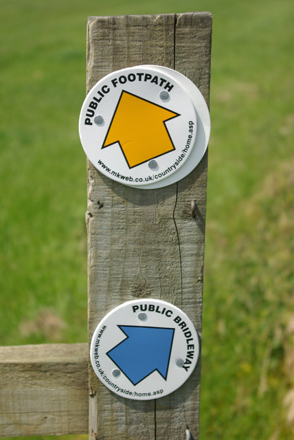
Image: © Stephen McKay Taken: 2 Jun 2007
Although Milton Keynes is a rapidly expanding new town, there is still extensive countryside within the borough boundary - especially to the north east. The council seems assiduous at waymarking its footpath network; the orange arrows indicate footpaths and the blue arrows indicate bridleways - a simple but effective scheme.
Images are licensed for reuse under creativecommons.org/licenses/by-sa/2.0
Image Location
Latitude
52.157741
Longitude
-0.723087