Footpath from Foster Street
Introduction
The photograph on this page of Footpath from Foster Street by Marathon as part of the Geograph project.
The Geograph project started in 2005 with the aim of publishing, organising and preserving representative images for every square kilometre of Great Britain, Ireland and the Isle of Man.

There are currently over 7.5m images from over 14,400 individuals and you can help contribute to the project by visiting https://www.geograph.org.uk
Footpath from Foster Street
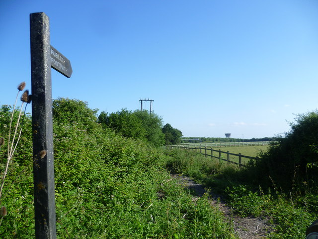
Image: © Marathon Taken: 27 Jun 2015
The water tower in the distance is a well-known feature for anyone travelling along the M11. It is on the west side, just north of the Harlow turn off.
Images are licensed for reuse under creativecommons.org/licenses/by-sa/2.0
Image Location
Latitude
51.758659
Longitude
0.149941