Fort Terrace, Margate
Introduction
The photograph on this page of Fort Terrace, Margate by Keith Edkins as part of the Geograph project.
The Geograph project started in 2005 with the aim of publishing, organising and preserving representative images for every square kilometre of Great Britain, Ireland and the Isle of Man.

There are currently over 7.5m images from over 14,400 individuals and you can help contribute to the project by visiting https://www.geograph.org.uk
Fort Terrace, Margate
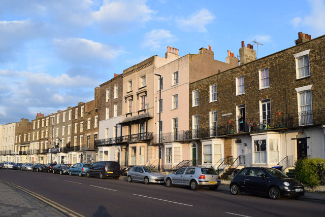
Image: © Keith Edkins Taken: 19 Jun 2015
Street looking out over the Winter Gardens to the North Sea. On a clear day you can see all the way to Gunfleet Sands windfarm, 26 miles away.
Images are licensed for reuse under creativecommons.org/licenses/by-sa/2.0
Image Location
Latitude
51.391492
Longitude
1.386252