The northern edge of Shirwell Cross
Introduction
The photograph on this page of The northern edge of Shirwell Cross by David Smith as part of the Geograph project.
The Geograph project started in 2005 with the aim of publishing, organising and preserving representative images for every square kilometre of Great Britain, Ireland and the Isle of Man.

There are currently over 7.5m images from over 14,400 individuals and you can help contribute to the project by visiting https://www.geograph.org.uk
The northern edge of Shirwell Cross
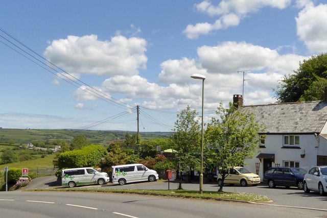
Image: © David Smith Taken: 8 Jun 2015
Shirwell Cross is at a bend in the A39 where the road to Shirwell leads to the north-east. This is the view north from close to that junction
Images are licensed for reuse under creativecommons.org/licenses/by-sa/2.0
Image Location
Latitude
51.115915
Longitude
-4.01399