Wimbledon from the air
Introduction
The photograph on this page of Wimbledon from the air by Thomas Nugent as part of the Geograph project.
The Geograph project started in 2005 with the aim of publishing, organising and preserving representative images for every square kilometre of Great Britain, Ireland and the Isle of Man.

There are currently over 7.5m images from over 14,400 individuals and you can help contribute to the project by visiting https://www.geograph.org.uk
Wimbledon from the air
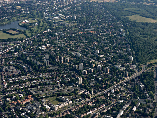
Image: © Thomas Nugent Taken: 19 Jun 2015
Wimbledon Common is on the right, Wimbledon Park is on the left, the tennis club can be seen in the distance.
Images are licensed for reuse under creativecommons.org/licenses/by-sa/2.0
Image Location
Latitude
51.447888
Longitude
-0.215558