Mill Lane, Kidderminster
Introduction
The photograph on this page of Mill Lane, Kidderminster by P L Chadwick as part of the Geograph project.
The Geograph project started in 2005 with the aim of publishing, organising and preserving representative images for every square kilometre of Great Britain, Ireland and the Isle of Man.

There are currently over 7.5m images from over 14,400 individuals and you can help contribute to the project by visiting https://www.geograph.org.uk
Mill Lane, Kidderminster
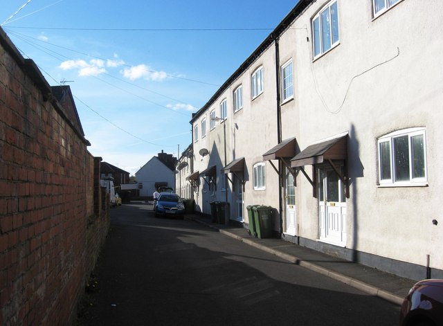
Image: © P L Chadwick Taken: 23 Apr 2013
Behind the brick wall on the left is a modern housing development called Millfield Gardens.
Images are licensed for reuse under creativecommons.org/licenses/by-sa/2.0
Image Location
Latitude
52.389125
Longitude
-2.257392