Maize Field at Wootton Cross
Introduction
The photograph on this page of Maize Field at Wootton Cross by Nigel Mykura as part of the Geograph project.
The Geograph project started in 2005 with the aim of publishing, organising and preserving representative images for every square kilometre of Great Britain, Ireland and the Isle of Man.

There are currently over 7.5m images from over 14,400 individuals and you can help contribute to the project by visiting https://www.geograph.org.uk
Maize Field at Wootton Cross
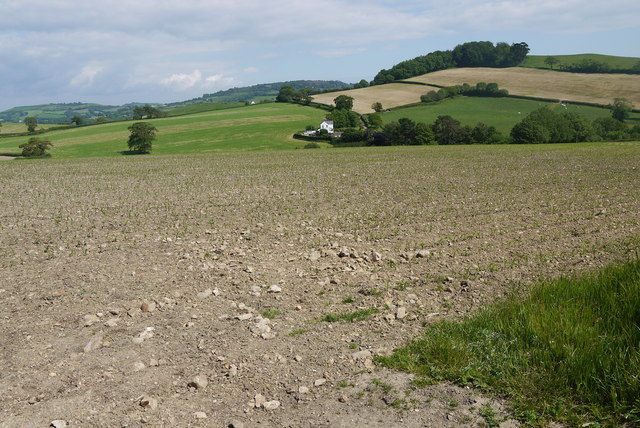
Image: © Nigel Mykura Taken: 15 Jun 2015
The small shoots of maize had only just started to show in this field north west of Wootton Cross. The white house in the centre of the image is one of a small group at Red Brick Cottages just next to the aforementioned cross.
Images are licensed for reuse under creativecommons.org/licenses/by-sa/2.0
Image Location


Leaflet Map data © OpenStreetMap
Latitude
50.761382
Longitude
-2.887367