Newcastle-under-Lyme: houses off Priory Road
Introduction
The photograph on this page of Newcastle-under-Lyme: houses off Priory Road by Jonathan Hutchins as part of the Geograph project.
The Geograph project started in 2005 with the aim of publishing, organising and preserving representative images for every square kilometre of Great Britain, Ireland and the Isle of Man.

There are currently over 7.5m images from over 14,400 individuals and you can help contribute to the project by visiting https://www.geograph.org.uk
Newcastle-under-Lyme: houses off Priory Road
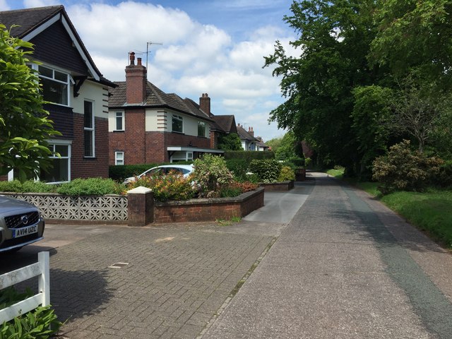
Image: © Jonathan Hutchins Taken: 23 Jun 2015
Priory Road itself, the A53, lies in a cutting below to the right (see http://www.geograph.org.uk/photo/4462229 ). These houses lie along an access road above.
Images are licensed for reuse under creativecommons.org/licenses/by-sa/2.0
Image Location
Latitude
53.004428
Longitude
-2.232578