Northern edge of Hensington Road Cemetery, Woodstock
Introduction
The photograph on this page of Northern edge of Hensington Road Cemetery, Woodstock by Jaggery as part of the Geograph project.
The Geograph project started in 2005 with the aim of publishing, organising and preserving representative images for every square kilometre of Great Britain, Ireland and the Isle of Man.

There are currently over 7.5m images from over 14,400 individuals and you can help contribute to the project by visiting https://www.geograph.org.uk
Northern edge of Hensington Road Cemetery, Woodstock
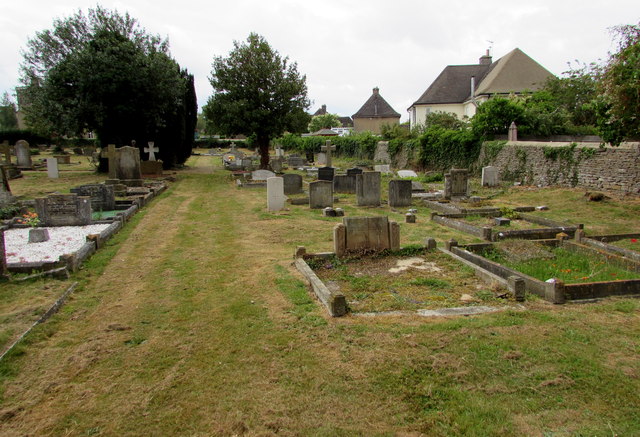
Image: © Jaggery Taken: 20 Jun 2015
This is one of two cemeteries in Woodstock. The other one is Woodstock Lawn Cemetery, http://www.geograph.org.uk/photo/4537963 accessed from Green Lane.
Images are licensed for reuse under creativecommons.org/licenses/by-sa/2.0
Image Location


Leaflet Map data © OpenStreetMap
Latitude
51.849352
Longitude
-1.350441