The Wyre Aqueduct
Introduction
The photograph on this page of The Wyre Aqueduct by Graham Hogg as part of the Geograph project.
The Geograph project started in 2005 with the aim of publishing, organising and preserving representative images for every square kilometre of Great Britain, Ireland and the Isle of Man.

There are currently over 7.5m images from over 14,400 individuals and you can help contribute to the project by visiting https://www.geograph.org.uk
The Wyre Aqueduct
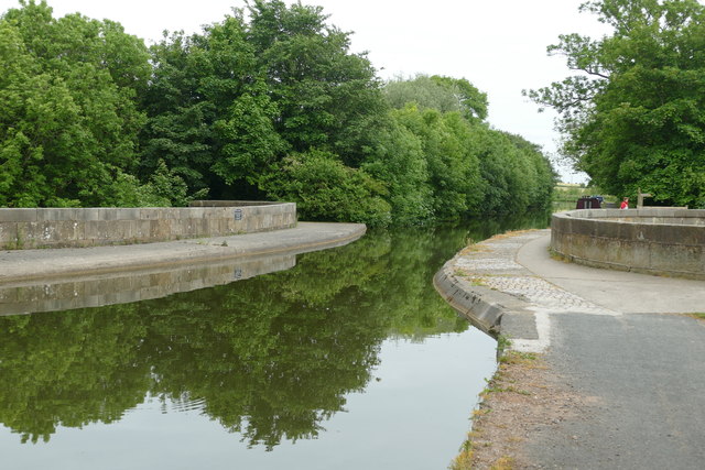
Image: © Graham Hogg Taken: 16 Jun 2015
Bridge 61 on the Lancaster Canal, a single span aqueduct 110' long carrying the canal above the River Wyre
Images are licensed for reuse under creativecommons.org/licenses/by-sa/2.0
Image Location
Latitude
53.896673
Longitude
-2.776978