South East from Cheesewring Farm
Introduction
The photograph on this page of South East from Cheesewring Farm by Des Blenkinsopp as part of the Geograph project.
The Geograph project started in 2005 with the aim of publishing, organising and preserving representative images for every square kilometre of Great Britain, Ireland and the Isle of Man.

There are currently over 7.5m images from over 14,400 individuals and you can help contribute to the project by visiting https://www.geograph.org.uk
South East from Cheesewring Farm
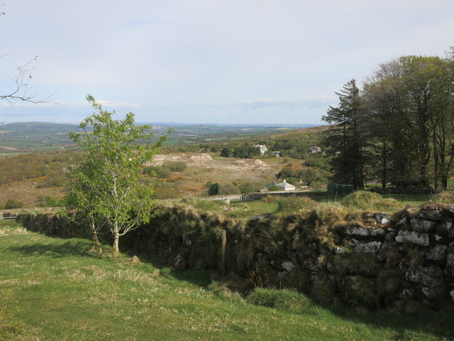
Image: © Des Blenkinsopp Taken: 30 Apr 2015
Looking from the railway path, with the waste tips of the old Phoenix United mine site centre picture.
Images are licensed for reuse under creativecommons.org/licenses/by-sa/2.0
Image Location


Leaflet Map data © OpenStreetMap
Latitude
50.525765
Longitude
-4.453799