Fields at Damas Lawn Bridge
Introduction
The photograph on this page of Fields at Damas Lawn Bridge by Nigel Mykura as part of the Geograph project.
The Geograph project started in 2005 with the aim of publishing, organising and preserving representative images for every square kilometre of Great Britain, Ireland and the Isle of Man.

There are currently over 7.5m images from over 14,400 individuals and you can help contribute to the project by visiting https://www.geograph.org.uk
Fields at Damas Lawn Bridge
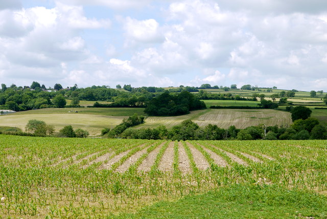
Image: © Nigel Mykura Taken: 15 Jun 2015
This field of maize which was still very small in stature is growing in a field above a small tributary of the River Axe.
Images are licensed for reuse under creativecommons.org/licenses/by-sa/2.0
Image Location
Latitude
50.81449
Longitude
-2.94941