River Stort Navigation: approaching Harlow Lock
Introduction
The photograph on this page of River Stort Navigation: approaching Harlow Lock by Christopher Hilton as part of the Geograph project.
The Geograph project started in 2005 with the aim of publishing, organising and preserving representative images for every square kilometre of Great Britain, Ireland and the Isle of Man.

There are currently over 7.5m images from over 14,400 individuals and you can help contribute to the project by visiting https://www.geograph.org.uk
River Stort Navigation: approaching Harlow Lock
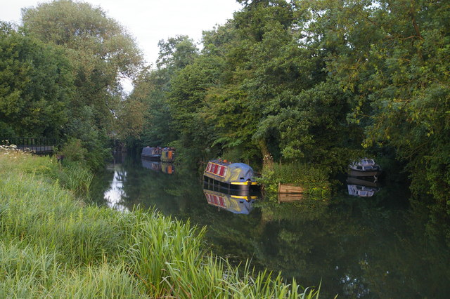
Image: © Christopher Hilton Taken: 20 Jun 2015
The main channel is to the left: the backwater to the right leads to the weir at the former Harlow Mill, but is used for mooring. On the extreme left a channel enters that bypasses the lock on the northern side.
Images are licensed for reuse under creativecommons.org/licenses/by-sa/2.0
Image Location
Latitude
51.795102
Longitude
0.128905