View of Mill Street, Crook
Introduction
The photograph on this page of View of Mill Street, Crook by Robert Graham as part of the Geograph project.
The Geograph project started in 2005 with the aim of publishing, organising and preserving representative images for every square kilometre of Great Britain, Ireland and the Isle of Man.

There are currently over 7.5m images from over 14,400 individuals and you can help contribute to the project by visiting https://www.geograph.org.uk
View of Mill Street, Crook
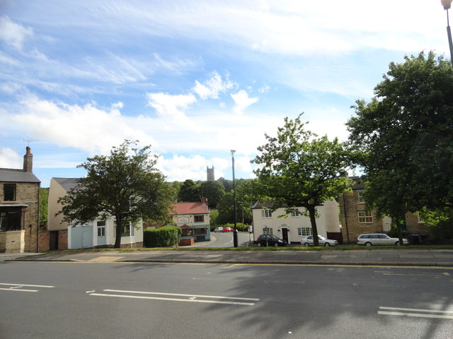
Image: © Robert Graham Taken: 19 Jun 2015
Looking east down Mill Street to the Mill pub. This is on the east side of the town centre. The big tower in the background belongs to St Cuthbert's R C Church.
Images are licensed for reuse under creativecommons.org/licenses/by-sa/2.0
Image Location
Latitude
54.715585
Longitude
-1.743689