Looking towards Bishopbriggs from above Milngavie
Introduction
The photograph on this page of Looking towards Bishopbriggs from above Milngavie by M J Richardson as part of the Geograph project.
The Geograph project started in 2005 with the aim of publishing, organising and preserving representative images for every square kilometre of Great Britain, Ireland and the Isle of Man.

There are currently over 7.5m images from over 14,400 individuals and you can help contribute to the project by visiting https://www.geograph.org.uk
Looking towards Bishopbriggs from above Milngavie
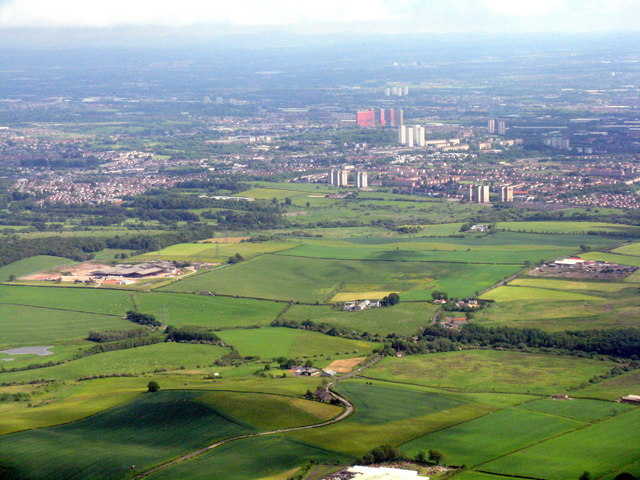
Image: © M J Richardson Taken: 20 Jun 2015
The Antonine Wall crosses this landscape and the River Kelvin [middle foreground] marks the boundary between East Dunbartonshire and Glasgow.
Images are licensed for reuse under creativecommons.org/licenses/by-sa/2.0
Image Location
Latitude
55.923438
Longitude
-4.280618