Golden Hill Trig Point
Introduction
The photograph on this page of Golden Hill Trig Point by Rude Health as part of the Geograph project.
The Geograph project started in 2005 with the aim of publishing, organising and preserving representative images for every square kilometre of Great Britain, Ireland and the Isle of Man.

There are currently over 7.5m images from over 14,400 individuals and you can help contribute to the project by visiting https://www.geograph.org.uk
Golden Hill Trig Point
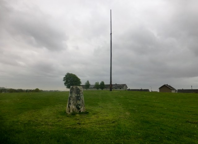
Image: © Rude Health Taken: 27 May 2015
Short walk up to this urban trig on Golden Hill, site of Duntocher Fort on the Antonine Wall. Small area of open access land surrounded by housing estates. Sad to see its condition, covered in graffiti, top screed chipped off at the edges. Otherwise pillar is ok and even has its original cap with deeply indented lettering; all sight holes open.
Images are licensed for reuse under creativecommons.org/licenses/by-sa/2.0
Image Location
Latitude
55.923909
Longitude
-4.409262