St. Leonard's Church, Bengeo
Introduction
The photograph on this page of St. Leonard's Church, Bengeo by Mike Quinn as part of the Geograph project.
The Geograph project started in 2005 with the aim of publishing, organising and preserving representative images for every square kilometre of Great Britain, Ireland and the Isle of Man.

There are currently over 7.5m images from over 14,400 individuals and you can help contribute to the project by visiting https://www.geograph.org.uk
St. Leonard's Church, Bengeo
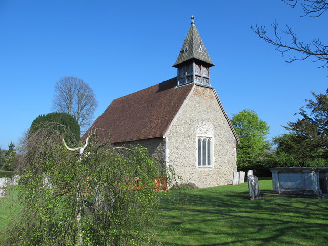
Image: © Mike Quinn Taken: 23 Apr 2015
The church is originally Norman (12th C) with alterations in the 13th to 15th C; the porch is 18th C; and restoration work was carried out in the late 19th and early 20th C. The building is Grade I listed http://list.historicengland.org.uk/resultsingle.aspx?uid=1268717 . Several photos of the church and its interior have been submitted by John Salmon http://www.geograph.org.uk/search.php?i=56405965 .
Images are licensed for reuse under creativecommons.org/licenses/by-sa/2.0
Image Location
Latitude
51.805496
Longitude
-0.072231