Laying a gas main along Coombe Valley Road
Introduction
The photograph on this page of Laying a gas main along Coombe Valley Road by John Baker as part of the Geograph project.
The Geograph project started in 2005 with the aim of publishing, organising and preserving representative images for every square kilometre of Great Britain, Ireland and the Isle of Man.

There are currently over 7.5m images from over 14,400 individuals and you can help contribute to the project by visiting https://www.geograph.org.uk
Laying a gas main along Coombe Valley Road
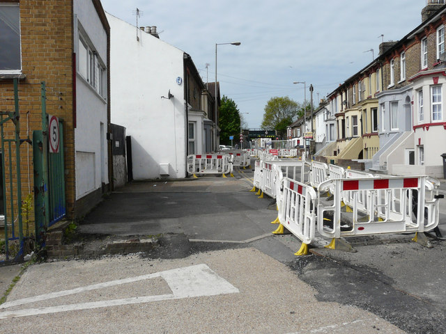
Image: © John Baker Taken: 22 May 2015
Coombe Valley Road is to the left of the view of Image The work had started on 30 March 2015 and was expected to last for 15 weeks.
Images are licensed for reuse under creativecommons.org/licenses/by-sa/2.0
Image Location
Latitude
51.134213
Longitude
1.298753