Taunton: Burton Place
Introduction
The photograph on this page of Taunton: Burton Place by John Sutton as part of the Geograph project.
The Geograph project started in 2005 with the aim of publishing, organising and preserving representative images for every square kilometre of Great Britain, Ireland and the Isle of Man.

There are currently over 7.5m images from over 14,400 individuals and you can help contribute to the project by visiting https://www.geograph.org.uk
Taunton: Burton Place
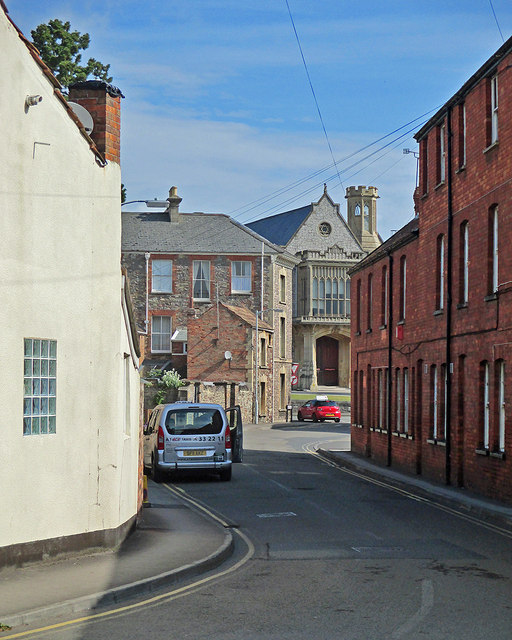
Image: © John Sutton Taken: 14 Jun 2015
Looking from the corner of Westgate Street towards the Victorian Gothic Crown Court on the other side of Upper High Street.
Images are licensed for reuse under creativecommons.org/licenses/by-sa/2.0
Image Location


Leaflet Map data © OpenStreetMap
Latitude
51.012102
Longitude
-3.107821