Path junction, Cwm-yr-Eglwys
Introduction
The photograph on this page of Path junction, Cwm-yr-Eglwys by Derek Harper as part of the Geograph project.
The Geograph project started in 2005 with the aim of publishing, organising and preserving representative images for every square kilometre of Great Britain, Ireland and the Isle of Man.

There are currently over 7.5m images from over 14,400 individuals and you can help contribute to the project by visiting https://www.geograph.org.uk
Path junction, Cwm-yr-Eglwys
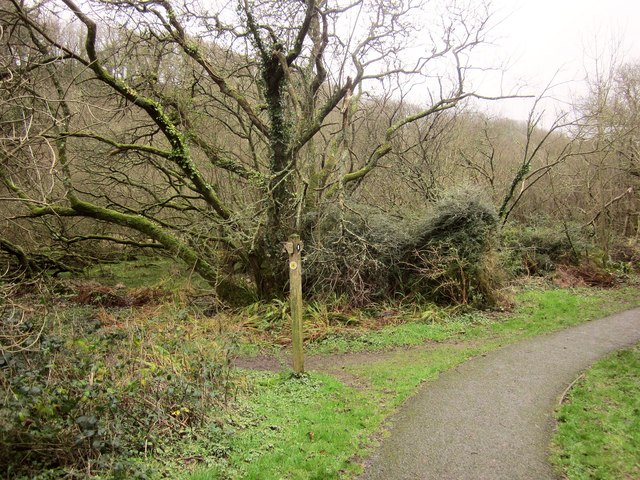
Image: © Derek Harper Taken: 1 Jan 2015
Footpath PP16 45/2 joins the coast path here from the left. (The coast path is mapped as an alternative to the strenuous route around Dinas Island). On the left is the swampy woodland shown in Image
Images are licensed for reuse under creativecommons.org/licenses/by-sa/2.0
Image Location


Leaflet Map data © OpenStreetMap
Latitude
52.022731
Longitude
-4.897753