Shepherd's Hill
Introduction
The photograph on this page of Shepherd's Hill by Marathon as part of the Geograph project.
The Geograph project started in 2005 with the aim of publishing, organising and preserving representative images for every square kilometre of Great Britain, Ireland and the Isle of Man.

There are currently over 7.5m images from over 14,400 individuals and you can help contribute to the project by visiting https://www.geograph.org.uk
Shepherd's Hill
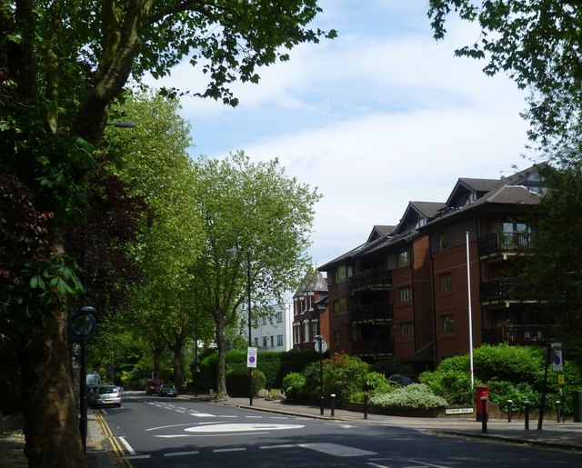
Image: © Marathon Taken: 17 Jun 2015
Shepherd's Hill runs between Highgate and Crouch End. Stanhope Road is on the right here.
Images are licensed for reuse under creativecommons.org/licenses/by-sa/2.0
Image Location
Latitude
51.578148
Longitude
-0.137721