Path to Oriel y Parc, St. David's
Introduction
The photograph on this page of Path to Oriel y Parc, St. David's by Derek Harper as part of the Geograph project.
The Geograph project started in 2005 with the aim of publishing, organising and preserving representative images for every square kilometre of Great Britain, Ireland and the Isle of Man.

There are currently over 7.5m images from over 14,400 individuals and you can help contribute to the project by visiting https://www.geograph.org.uk
Path to Oriel y Parc, St. David's
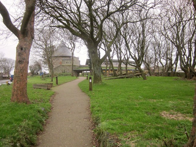
Image: © Derek Harper Taken: 31 Dec 2014
Running parallel to the High Street through a small wood, towards the National Park Visitor Centre.
Images are licensed for reuse under creativecommons.org/licenses/by-sa/2.0
Image Location
Latitude
51.880091
Longitude
-5.261754