Old Mineral Line
Introduction
The photograph on this page of Old Mineral Line by Robert Murray as part of the Geograph project.
The Geograph project started in 2005 with the aim of publishing, organising and preserving representative images for every square kilometre of Great Britain, Ireland and the Isle of Man.

There are currently over 7.5m images from over 14,400 individuals and you can help contribute to the project by visiting https://www.geograph.org.uk
Old Mineral Line
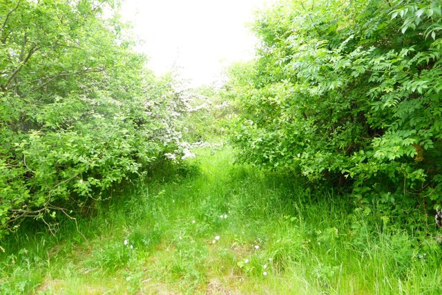
Image: © Robert Murray Taken: 16 Jun 2015
Track bed of the old Bredisholm railway built in 1850 which connected the original Bredisholm pits to the Drumpeller Railway a half mile away near Luggie Bridge from where coals were carried uphill to the canal port at Cuilhill for transhipment onto barges. Horses were used to pull the wagons on this line before pugs were introduced in the 1870s.
Images are licensed for reuse under creativecommons.org/licenses/by-sa/2.0
Image Location
Latitude
55.845533
Longitude
-4.071424