The Sailors' and Soldiers' Club turned orange
Introduction
The photograph on this page of The Sailors' and Soldiers' Club turned orange by Ian Calderwood as part of the Geograph project.
The Geograph project started in 2005 with the aim of publishing, organising and preserving representative images for every square kilometre of Great Britain, Ireland and the Isle of Man.

There are currently over 7.5m images from over 14,400 individuals and you can help contribute to the project by visiting https://www.geograph.org.uk
The Sailors' and Soldiers' Club turned orange
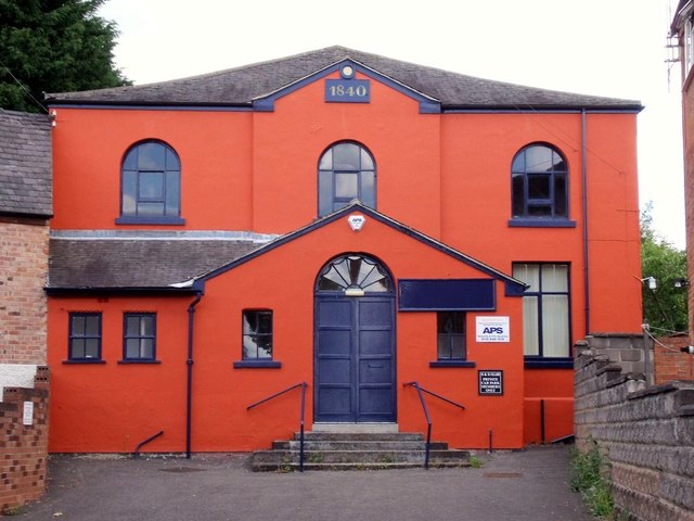
Image: © Ian Calderwood Taken: 8 Jun 2015
Since Image was taken, the building acquired a new colour scheme.
Images are licensed for reuse under creativecommons.org/licenses/by-sa/2.0
Image Location
Latitude
52.842341
Longitude
-1.335876