Different levels in Porthmadog
Introduction
The photograph on this page of Different levels in Porthmadog by Christine Johnstone as part of the Geograph project.
The Geograph project started in 2005 with the aim of publishing, organising and preserving representative images for every square kilometre of Great Britain, Ireland and the Isle of Man.

There are currently over 7.5m images from over 14,400 individuals and you can help contribute to the project by visiting https://www.geograph.org.uk
Different levels in Porthmadog
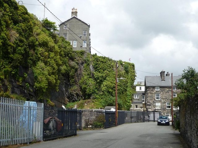
Image: © Christine Johnstone Taken: 31 May 2015
The higher houses are in Garth Road. The lower road is at the level of the quay.
Images are licensed for reuse under creativecommons.org/licenses/by-sa/2.0
Image Location
Latitude
52.923064
Longitude
-4.131085