Wrecclesham train repository: aerial 2015
Introduction
The photograph on this page of Wrecclesham train repository: aerial 2015 by Chris as part of the Geograph project.
The Geograph project started in 2005 with the aim of publishing, organising and preserving representative images for every square kilometre of Great Britain, Ireland and the Isle of Man.

There are currently over 7.5m images from over 14,400 individuals and you can help contribute to the project by visiting https://www.geograph.org.uk
Wrecclesham train repository: aerial 2015
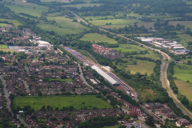
Image: © Chris Taken: 14 Jun 2015
Looking westwards along the A31 No mention on the map of a station name. Maybe it is a refuge for orange and blue caterpillars. See also Image
Images are licensed for reuse under creativecommons.org/licenses/by-sa/2.0
Image Location
Latitude
51.204646
Longitude
-0.810882