Dan yr A465 / Under the A465
Introduction
The photograph on this page of Dan yr A465 / Under the A465 by Alan Richards as part of the Geograph project.
The Geograph project started in 2005 with the aim of publishing, organising and preserving representative images for every square kilometre of Great Britain, Ireland and the Isle of Man.

There are currently over 7.5m images from over 14,400 individuals and you can help contribute to the project by visiting https://www.geograph.org.uk
Dan yr A465 / Under the A465
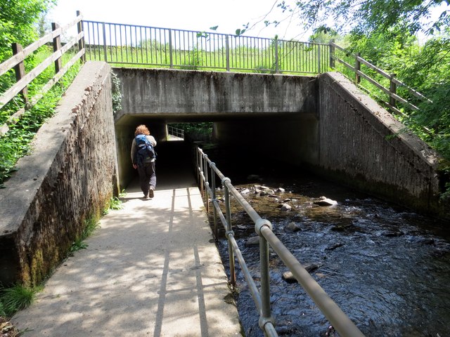
Image: © Alan Richards Taken: 14 Jun 2015
Llwybr cyhoeddus yn mynd o dan yr A465. Enw'r ffrwd yw Nant Melin Cwrt. A public footpath going under the A465. The name of the watercourse is Melin Court Brook.
Images are licensed for reuse under creativecommons.org/licenses/by-sa/2.0
Image Location


Leaflet Map data © OpenStreetMap
Latitude
51.705621
Longitude
-3.710527