Ger / Near Aberdulais
Introduction
The photograph on this page of Ger / Near Aberdulais by Alan Richards as part of the Geograph project.
The Geograph project started in 2005 with the aim of publishing, organising and preserving representative images for every square kilometre of Great Britain, Ireland and the Isle of Man.

There are currently over 7.5m images from over 14,400 individuals and you can help contribute to the project by visiting https://www.geograph.org.uk
Ger / Near Aberdulais
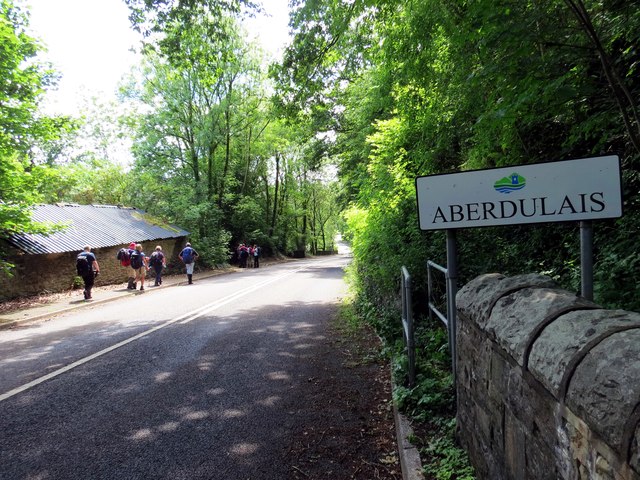
Image: © Alan Richards Taken: 14 Jun 2015
Cerddwyr yn dilyn yr B4242 ger Aberdulais. Mae'r heol yn dawel iawn ers adeiladu'r ffordd ddeuol gerllaw. Walkers following the B4242 near Aberdulais (confluence of the black river). The road is quiet since the opening of the nearby dual carriageway.
Images are licensed for reuse under creativecommons.org/licenses/by-sa/2.0
Image Location
Latitude
51.697936
Longitude
-3.731798