Mossley: Lodge on Manchester Road
Introduction
The photograph on this page of Mossley: Lodge on Manchester Road by Dr Neil Clifton as part of the Geograph project.
The Geograph project started in 2005 with the aim of publishing, organising and preserving representative images for every square kilometre of Great Britain, Ireland and the Isle of Man.

There are currently over 7.5m images from over 14,400 individuals and you can help contribute to the project by visiting https://www.geograph.org.uk
Mossley: Lodge on Manchester Road
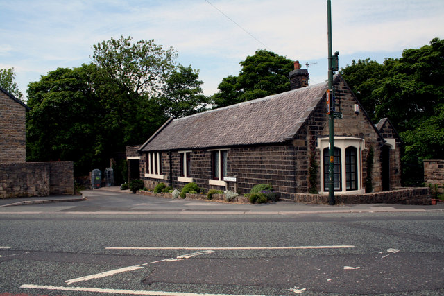
Image: © Dr Neil Clifton Taken: 12 Jun 2015
The Mossley borough boundary crosses the main road (A635) here. The lane coming down from the left is Calf Lane. This is where the Roaches terminus of the SHMD trams (Stalybridge, Hyde, Mossley & Dukinfield Tramways & Electricity Board) was situated. The lodge is a former toll house erected by the Ridgehill, Lanes & Holehouse Turnpike Trust.
Images are licensed for reuse under creativecommons.org/licenses/by-sa/2.0
Image Location
Latitude
53.529416
Longitude
-2.026965