Ger / Near Pantycelyn
Introduction
The photograph on this page of Ger / Near Pantycelyn by Alan Richards as part of the Geograph project.
The Geograph project started in 2005 with the aim of publishing, organising and preserving representative images for every square kilometre of Great Britain, Ireland and the Isle of Man.

There are currently over 7.5m images from over 14,400 individuals and you can help contribute to the project by visiting https://www.geograph.org.uk
Ger / Near Pantycelyn
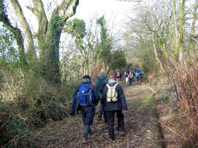
Image: © Alan Richards Taken: 5 Feb 2006
Cerddwyr yn dilyn hen heol sy eisioes wedi ei hisraddio i lwybr ceffyl. Walkers following an old road which has long been downgraded to a bridleway.
Images are licensed for reuse under creativecommons.org/licenses/by-sa/2.0
Image Location
Latitude
51.709271
Longitude
-4.232327