Ger / Near Priory Wood
Introduction
The photograph on this page of Ger / Near Priory Wood by Alan Richards as part of the Geograph project.
The Geograph project started in 2005 with the aim of publishing, organising and preserving representative images for every square kilometre of Great Britain, Ireland and the Isle of Man.

There are currently over 7.5m images from over 14,400 individuals and you can help contribute to the project by visiting https://www.geograph.org.uk
Ger / Near Priory Wood
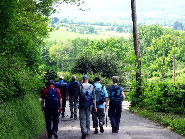
Image: © Alan Richards Taken: 20 May 2007
Cerddwyr yn dilyn heol fach i gyfeiraid Pont Cemais. Walkers following a minor road in the direction of the Chain Bridge.
Images are licensed for reuse under creativecommons.org/licenses/by-sa/2.0
Image Location
Latitude
51.747953
Longitude
-2.938728