The Eleven Acres
Introduction
The photograph on this page of The Eleven Acres by Simon Carey as part of the Geograph project.
The Geograph project started in 2005 with the aim of publishing, organising and preserving representative images for every square kilometre of Great Britain, Ireland and the Isle of Man.

There are currently over 7.5m images from over 14,400 individuals and you can help contribute to the project by visiting https://www.geograph.org.uk
The Eleven Acres
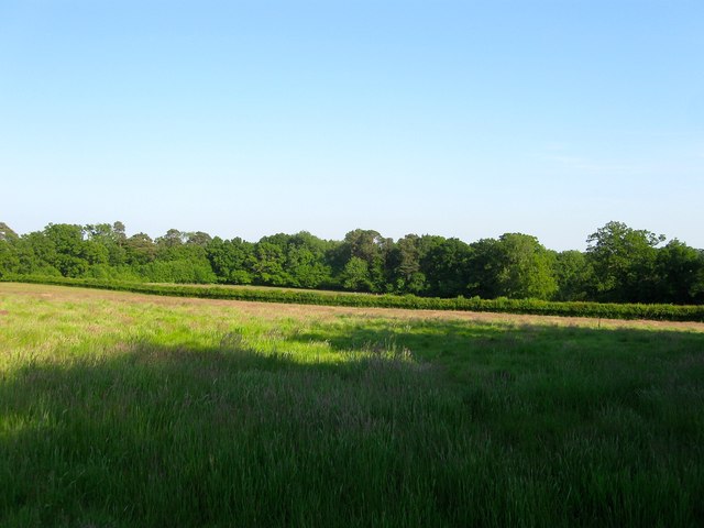
Image: © Simon Carey Taken: 11 Jun 2015
The name of the field according to Ardingly's 1840 tithe map that has now been split in two by the hedge running east-west. Originally the fields southern boundary was with Lywood Common, the trees in the distance. To the north is Image
Images are licensed for reuse under creativecommons.org/licenses/by-sa/2.0
Image Location
Latitude
51.041328
Longitude
-0.068745