Hill Farm, from Plumdon Lane
Introduction
The photograph on this page of Hill Farm, from Plumdon Lane by Duncan Lilly as part of the Geograph project.
The Geograph project started in 2005 with the aim of publishing, organising and preserving representative images for every square kilometre of Great Britain, Ireland and the Isle of Man.

There are currently over 7.5m images from over 14,400 individuals and you can help contribute to the project by visiting https://www.geograph.org.uk
Hill Farm, from Plumdon Lane
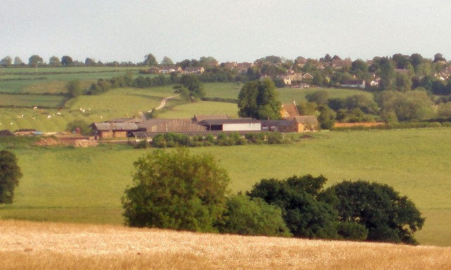
Image: © Duncan Lilly Taken: 1 Jun 2007
Duns Tew can be seen on the hill beyond. SP4529 is all private land with no footpaths, so it's difficult to get a closer view.
Images are licensed for reuse under creativecommons.org/licenses/by-sa/2.0
Image Location
Latitude
51.962993
Longitude
-1.333518