Holy Trinity, Upper Tooting: south side
Introduction
The photograph on this page of Holy Trinity, Upper Tooting: south side by Stephen Craven as part of the Geograph project.
The Geograph project started in 2005 with the aim of publishing, organising and preserving representative images for every square kilometre of Great Britain, Ireland and the Isle of Man.

There are currently over 7.5m images from over 14,400 individuals and you can help contribute to the project by visiting https://www.geograph.org.uk
Holy Trinity, Upper Tooting: south side
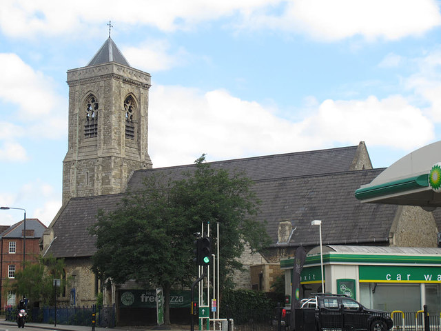
Image: © Stephen Craven Taken: 10 Jun 2015
The longer, lower roof is that of the former south aisle, now used as a nursery. Behind is the higher nave roof.
Images are licensed for reuse under creativecommons.org/licenses/by-sa/2.0
Image Location
Latitude
51.437708
Longitude
-0.161999