Skelton Cote Farm
Introduction
The photograph on this page of Skelton Cote Farm by Tony Simms as part of the Geograph project.
The Geograph project started in 2005 with the aim of publishing, organising and preserving representative images for every square kilometre of Great Britain, Ireland and the Isle of Man.

There are currently over 7.5m images from over 14,400 individuals and you can help contribute to the project by visiting https://www.geograph.org.uk
Skelton Cote Farm
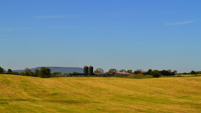
Image: © Tony Simms Taken: 10 Jun 2015
While the Leyburn road runs closer to this farm, the back road to Barden gives a better view and has the badckdrop of Pen Hill to boot.
Images are licensed for reuse under creativecommons.org/licenses/by-sa/2.0
Image Location


Leaflet Map data © OpenStreetMap
Latitude
54.342394
Longitude
-1.811233