King Arthurs Community School
Introduction
The photograph on this page of King Arthurs Community School by william as part of the Geograph project.
The Geograph project started in 2005 with the aim of publishing, organising and preserving representative images for every square kilometre of Great Britain, Ireland and the Isle of Man.

There are currently over 7.5m images from over 14,400 individuals and you can help contribute to the project by visiting https://www.geograph.org.uk
King Arthurs Community School
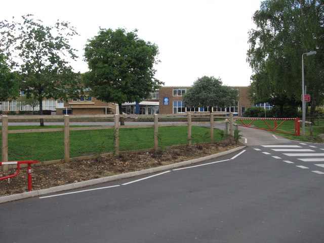
Image: © william Taken: 31 May 2007
I would have put an apostrophe in, but it officially doesn't have one. Not a good example for its pupils!
Images are licensed for reuse under creativecommons.org/licenses/by-sa/2.0
Image Location
Latitude
51.055253
Longitude
-2.423987