Rearsby Mill
Introduction
The photograph on this page of Rearsby Mill by Andrew Tatlow as part of the Geograph project.
The Geograph project started in 2005 with the aim of publishing, organising and preserving representative images for every square kilometre of Great Britain, Ireland and the Isle of Man.

There are currently over 7.5m images from over 14,400 individuals and you can help contribute to the project by visiting https://www.geograph.org.uk
Rearsby Mill
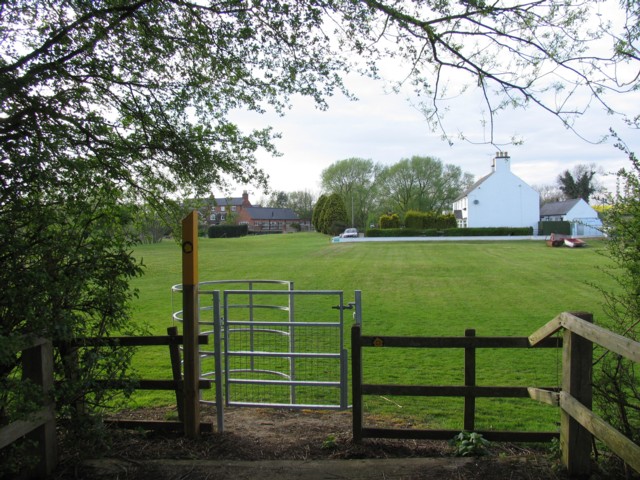
Image: © Andrew Tatlow Taken: 22 Apr 2007
The track from Rearsby to the mill previously extended to the road between Thrussington and Ratcliffe on the Wreake but it now terminates just here and becomes a public footpath. The footpath is part of the Leicestershire Round long distance footpath.
Images are licensed for reuse under creativecommons.org/licenses/by-sa/2.0
Image Location
Latitude
52.728034
Longitude
-1.051081