Footpath between two housing estates, Well Oak Park, Exeter
Introduction
The photograph on this page of Footpath between two housing estates, Well Oak Park, Exeter by David Smith as part of the Geograph project.
The Geograph project started in 2005 with the aim of publishing, organising and preserving representative images for every square kilometre of Great Britain, Ireland and the Isle of Man.

There are currently over 7.5m images from over 14,400 individuals and you can help contribute to the project by visiting https://www.geograph.org.uk
Footpath between two housing estates, Well Oak Park, Exeter
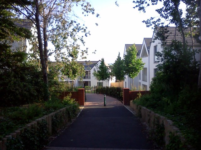
Image: © David Smith Taken: 10 Jun 2015
This path links the late 20th century estate of Well Oak Park with the pre-WW2 estate around Burnthouse Lane
Images are licensed for reuse under creativecommons.org/licenses/by-sa/2.0
Image Location
Latitude
50.71283
Longitude
-3.50783