York Road, Exeter
Introduction
The photograph on this page of York Road, Exeter by David Smith as part of the Geograph project.
The Geograph project started in 2005 with the aim of publishing, organising and preserving representative images for every square kilometre of Great Britain, Ireland and the Isle of Man.

There are currently over 7.5m images from over 14,400 individuals and you can help contribute to the project by visiting https://www.geograph.org.uk
York Road, Exeter
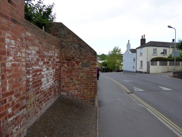
Image: © David Smith Taken: 6 Jun 2015
On the right is Oxford Road and then Well Street (named for St Sidwell's well) and beyond the tree is St Sidwell's Church of England Primary School. The wall shows signs of piecemeal construction and repair using local stone and bricks
Images are licensed for reuse under creativecommons.org/licenses/by-sa/2.0
Image Location
Latitude
50.727911
Longitude
-3.523759