Distances from Clearwell
Introduction
The photograph on this page of Distances from Clearwell by Jaggery as part of the Geograph project.
The Geograph project started in 2005 with the aim of publishing, organising and preserving representative images for every square kilometre of Great Britain, Ireland and the Isle of Man.

There are currently over 7.5m images from over 14,400 individuals and you can help contribute to the project by visiting https://www.geograph.org.uk
Distances from Clearwell
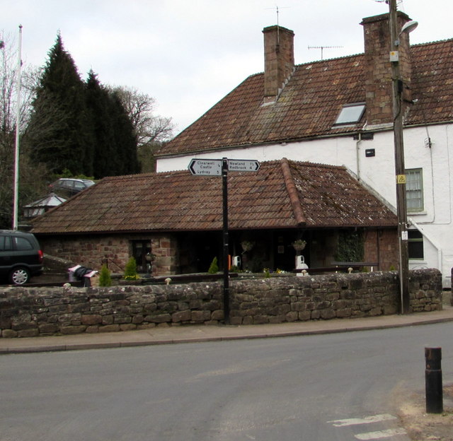
Image: © Jaggery Taken: 22 Mar 2015
Clearwell is a small village (population c350) in the Forest of Dean District in west Gloucestershire. The signpost at the High Street and Church Street junction shows that Clearwell is 5 (miles) from Lydney, 4 from Redbrook and 1½ from Newland.
Images are licensed for reuse under creativecommons.org/licenses/by-sa/2.0
Image Location


Leaflet Map data © OpenStreetMap
Latitude
51.769567
Longitude
-2.622089