Cripsey Brook at Shelley Bridge (2)
Introduction
The photograph on this page of Cripsey Brook at Shelley Bridge (2) by Nigel Cox as part of the Geograph project.
The Geograph project started in 2005 with the aim of publishing, organising and preserving representative images for every square kilometre of Great Britain, Ireland and the Isle of Man.

There are currently over 7.5m images from over 14,400 individuals and you can help contribute to the project by visiting https://www.geograph.org.uk
Cripsey Brook at Shelley Bridge (2)
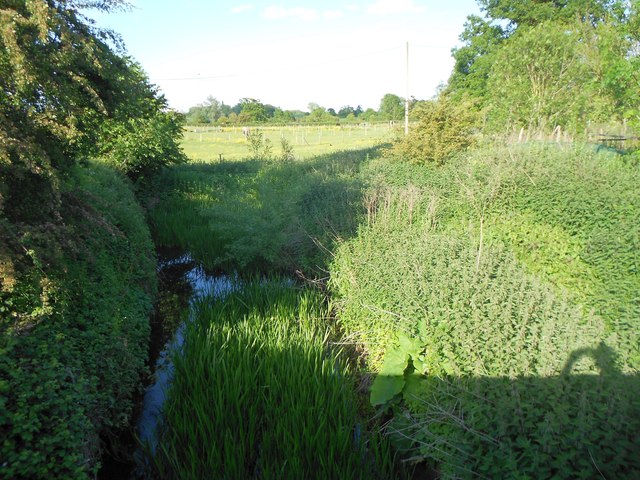
Image: © Nigel Cox Taken: 7 Jun 2015
Cripsey Brook is a tributary of the River Roding and rises in Epping Forest before joining the Roding just downstream of Ongar. This is the view looking upstream at the heavily vegetated reach upstream of Shelley Bridge, itself seen in Robert's Image This reach of the brook is entirely within the Civil Parish of Shelley. For a view looking downstream from the bridge please see Image
Images are licensed for reuse under creativecommons.org/licenses/by-sa/2.0
Image Location
Latitude
51.71853
Longitude
0.2378